


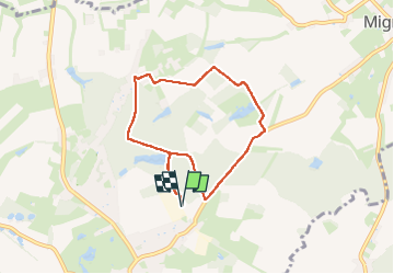


15,2 km | 17,4 km-effort

Benutzer GUIDE


Kostenlosegpshiking-Anwendung
 SityTrail
IGN / Geografische Institute
SityTrail World
Die Welt öffnet sich für Sie
Tour Wandern von 6,4 km verfügbar auf Wallonien, Hennegau, Le Rœulx. Diese Tour wird von MicDul vorgeschlagen.
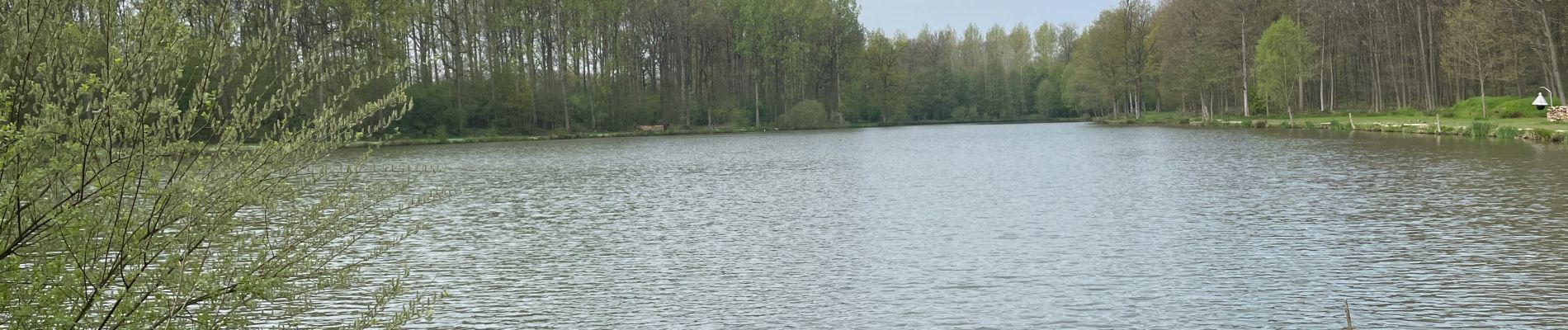
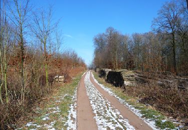
Petite balade dans le bois de La Haye du Roeulx.
Domaine Aldo Vastapane (homme d'affaires Belge d'origine Italienne)
Un court passage sur la route Le Roeulx-Mignault, soyez prudents.
Départ : Centre sportif - Rue de la Station 142 - Le Roeulx


32 Fotos insgesamt. Klicken Sie auf ein Foto, um sie alle in der Galerie zu sehen.
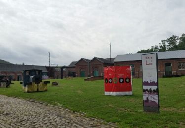
Wandern
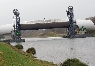
Wandern
Fahrrad
Fahrrad

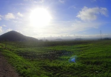
Wandern
Mountainbike
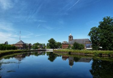
Wandern
Wandern
Wandern